

Other Port Information
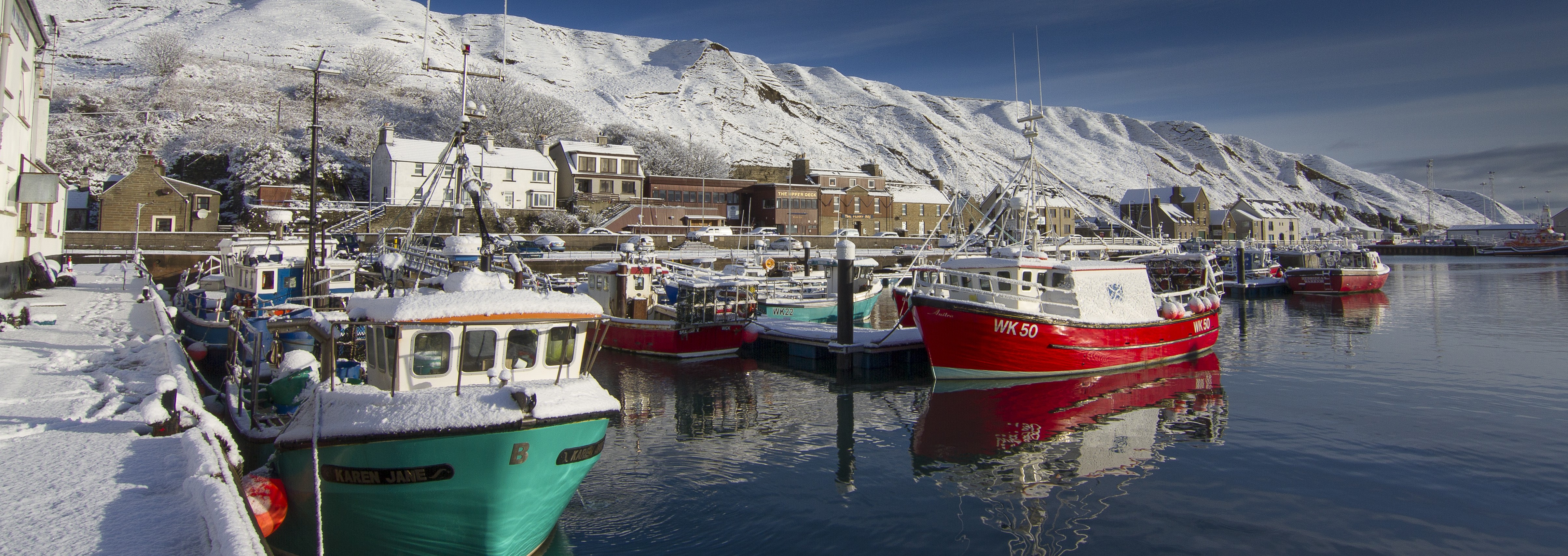
Scrabster Harbour has provided a safe, deep water anchorage to seafarers since the days of Viking longboats. Because of its advantageous location, Scrabster quickly became the gateway to the northern lands of Orkney, Shetland, Scandinavia and the Faroes.
Today the port is home to many commercial vessels, such as the fishing fleet and ferries. It is a port of call for cruise ships and also provides support for offshore oil and has and marine renewables. Scrabster’s comprehensive, modern facilities serve a wide range of port users.
AIS DATA
View AIS data on the Marine Traffic website: www.marinetraffic.com/ais/
ANCHORAGE
At Scrabster Roads, 3 to 4 cables E from the South end of the Queen Elizabeth Ro-Ro Pier. Anchorage subject to approval by the Harbour Trust.
BERTHING AND HEAVY LIFT CAPABILITY
| Quay | Length | Depth at Chart Datum | Heavy Lift Capability | Depth in approach channel |
| Queen Elizabeth Ro-Ro | 160m | 9.0m | 70 tonnes* | 9.0m |
| QE Lay By | 180m | 8.0m | 70 tonnes* | 8.0m |
| St Ola Ro-Ro | 115m | 5.5m | No | 7.5m |
| St Ola Lay By | 100m | 5.5m | No | 7.5m |
| Fish Market Quay | 120m | 4.5m | No | 7.5m |
| South Wall | 85m | 4.5m | No | 7.5m |
| Fuel Berth | 65m | 4.5m | No | 7.5m |
| Jubilee Quay | 120m | 7.5m | Generally 80 kN/m2 superimposed live load 45 units HB loading1,000 tonne heavy lift pad – 30m x 30m (approx) | 7.5m |
| Tanker Berth | 73m(but designed to accommodate vessels up to 95m loa) | 7.5m | 80 kN/m2 superimposed live load 45 units HB loading | 7.5m |
| Inner Basin | 130m | 4.5m | 30 kN/m2 UDL superimposed live load 45 units HB loading | 7.5m |
* Heavy lifts may require an engineering study to be undertaken.
CAR PARKING
Parking is available beside the ferry marshalling area where you pay on exit. The exit barrier accepts a token which can be obtained from the ferry booking office or the harbour office. Additional parking is available in the car park in front of Scrabster Hotel. Both car parks are operated by the Harbour Trust and the charge is £10 per week, or part thereof. Booking is not required as space is normally available in one of the car parks. If space is not available, contact the harbour office for overspill parking areas.
All vehicles are parked on Trust property entirely at the owner’s risk. The Trust accepts no liability for any damage to, or caused by, any vehicle parked or being driven on its property. Please note that no vehicle shall park outside of the designated parking areas unless with the prior written consent of the Harbour Master.
CHARGES
You can find the rates and dues by clicking here.
HARBOUR BYE-LAWS
The Harbour Bye-Laws can be found here.
ISPS
International Ship and Port Facility Security Code
Scrabster Harbour operates an approved Port Facility Security Plan (PFSP) under the ISPS Code.
Under SOLAS, Chapter XI-2, Regulation 9, ships are required to issue information prior to arrival at port. Please download the following ISPS Pre Arrival form and return the form a minimum of 24 hours prior to arrival at Port Control and the PFSO. Contact details given below.
Vessels requiring to complete a pre-arrival form without prejudice are:
- Passenger ships, including high speed craft
- Cargo ships, including high speed craft, of 500 gross tonnage and upwards
Declaration of Security (DoS)
Scrabster Harbour Trust requires a Declaration of Security from all vessels prior to arrival from non SOLAS (International Convention for the Safety of Life at Sea (SOLAS), 1974) countries.
If a DoS is required to be completed, please download the form and return to the Port Facility Security Officer (PSFO).
Contact details:
Port Control
Tel: +44 (0) 1847 892779
Fax: +44 (0) 1847 892353
Email: ops@scrabster.co.uk
VHF: ch. 12 & 16
MAPS
An image of the Harbour map can be found here.
NAVIGATION
Location
On the North coast of mainland Scotland.
Latitude: 58º 36.66’N
Longitude: 03º 32.6’W
Port Limits
Scrabster Harbour is particularly defined in the Scrabster Harbour Acts 1841 to 2011 which are summarised as follows:
“The seaward harbour limit shall be extended to include the following area:
From a point on the shore at Holborn Head at 58˚ 37’.22 N, 03˚ 32’.06W in a straight line due north to 58˚ 38’.14 N, 03˚32’.08 W, then in a straight line due east to 58˚38’.18 N, 03˚ 26’.17 W then in a straight line approximately east south east to 58˚ 37’.37N, 03˚ 22’.57 W then in a straight line due south to 58˚ 36’.19 N, 03˚ 22’.54 W then in a straight line approximately west north west to 58˚ 36’.57N, 03˚ 25’.59 W, then in a straight line due west to 58˚ 36’.56 N, 03˚ 28’.30 W, then in a straight line approximately west south west to the former Coastguard Station Scrabster at 58˚ 36’.03 N, 03˚ 32’.18 W.”
Under Keel Clearance
A minimum under keel clearance of 1.0 metres should be maintained at all times when manoeuvring within the harbour area.
NOTICE TO MARINERS
13.05.24– Clinton Marine Survey – 2024023_HI1783_Thurso_to _Hoy-
13.05.24-Clinton Marine Survey – 2024024_HI1784_Dunnet_Head_to_Duncansby_Head-
22.03.2424- WestOfOrkney-Survey-Complete-22.03.24
10.02.24-M5050.02.03.02.D05v03 – NTM – Service Visit Feb 2024
25.01.24-NorthCoast-Pentland Firth-Inner Sound
16.01.24-BE-0057 X21 – Subsea Survey XOcean JUV 2024
03.01.24- 7506-SSEN-NTM-MARINESENSOR-SOUTH-03
02-11-2023-West of Orkney Windfarm Rev.10
24.10.23-_003_SSEN_LT360_Geophysical Survey_Block 7
24.10.23-_002_SSEN_LT360_Geophysical Survey_Block06_
25.10.23-SSEN-NTM-VIKREA-B7_rev03
13.10.2023 – SSEN-NTM-VIKREA-002-B2_B5-001-03
31.05.23-SHEPD_Pentland Firth East(3) Power Cable Installation
Coronavirus (Covid 19) update – 09-03-2020
MDH-and-Information-to-Mariners-Notice_V-02-002-09-03-2010
F450-01-COVID-19-Maritime-Declaration-of-Health-002-09-03-2020
MDH Information to Mariners Notice-Covid-19-
Maritime Declaration of Health (Covid-19)-F450-01
PILOTAGE
The Harbour Trust appoints Pilots and although pilotage is not compulsory, it is recommended for first arrivals and vessels carrying dangerous goods.
Pilot Station:
58˚ 36’.52 N 03˚ 31’.70 W
PONTOONS
Pontoons are available for approximately 35 vessels up to 15 metres LOA. The pontoons are located in the Inner Basin and dredged to -2.0 metres at C.D.
Berthing application and waiting list operates.
Creel & Angling Berthing Application Form. pdf
Leisure & Part-timers-Berthing-Application.Form.pdf
NOTE: Visiting Yachts and Leisure Crafts can obtain fuel at the harbour from Simpson Oils Ltd. They can be contacted on 01955 604444.
PORT CONTROL/VHF
The port is manned 24 hours daily.
Port: Calling – VHF Channel 16
Working – VHF Channel 12 (24 Hour services)
PORT MARINE SAFETY CODE
PRE-ARRIVAL NOTIFICATION REQUIREMENTS
Under the Merchant Shipping (Traffic Monitoring and Reporting Requirements) vessels are required to provide notification to their intended port of call at least 24 hours in advance. The requirement is applicable to all vessels of 300GT and over, with the following exceptions:
- fishing vessels under 45 metres loa
- traditional ships under 45 m loa
- pleasure craft under 45 metres
- warships
- naval auxiliaries
- other ships operated or owned by the government of an EEA state which are used for non-commercial public service.
Masters and agents are advised that failure to provide notification at the appropriate time may result in the ship being delayed or denied access to the harbour authority areas and ports.
Masters or agents of exempt vessels should forward evidence of their ship’s status to the harbour authority operations room at least 24 hours prior to arrival.
PUBLIC NOTICES
STORAGE FACILITIES
| Area | Size |
| General Lay-down Area – (Jubilee Quay) | 5,515 m2 (50 kN/m2 UDL. 45 units of HB loading. Tractor and Forklift “B” Axle load. Five high fully laden container stacks). |
| Total area of the Old Fish Market Quay development = 11,473 m2(includes general lay-down area stated above) | |
| Compound (1) at Business Park – Concrete surface | 2,500 m2 |
| Compound (2) at Business Park – Hard core surface | 875 m2 |
All storage areas are currently designed for short to medium term storage. Long term storage may be available by arrangement with Scrabster Harbour Trust.
TIDAL STATISTICS
High Water occurs approximately 2 hours 20 minutes before Dover. Tide heights 5.0 metres MHWS; 3.7 metres MHWN. Range of tides – spring tides 4 metres rise and fall and neap tides 1.6 metres rise and fall.
TIDE TABLES
Find the live information of tide tables here.
TRANSPORT
Road: A9 to Inverness
Air: Wick Airport (21 miles), connections nationwide & international via Aberdeen & Edinburgh.
Rail: Main line to Inverness from Thurso (2 miles)
WASTE
Scrabster Harbour Trust has an approved Waste Management Plan. Euro Bins for use by vessels are provided on all quays and special waste can be disposed of by arrangement with the port authority or through the vessel’s agents.
All vessels landing waste at Scrabster Harbour (other than those with approved exemptions from the MCA) must give notification of waste disposal to Port Control:
- where Scrabster is known to be the next port of call at 24 hours before arrival; or
- as soon as possible after Scrabster as a destination is known;
- where the duration of the voyage is less than 24 hours, at latest on departure from the previous port.
The ship may use their own notification form providing the information on that form meets the statutory requirements and submit it by fax or email. A copy of the notice referred to shall be retained on board the ship until at least the next port of call in accordance with the MCA guidance in Marine Guidance Note MGN 253 (M + F).
WATER
Fresh water available on QE lay-by, Jubilee Quay berths and Fish Dock (South Wall and Fuel berths).
WEATHER
Here are some useful links to weather sites:
https://www.metoffice.gov.uk/public/weather/forecast/gfmmrjy1z
Magic Seaweed (for UK & Ireland – Swell | Period| Wind | Pressure | Sea Temp | Surf | Jetstream)